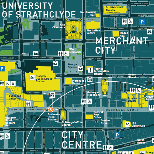
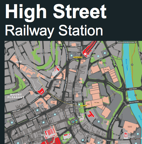
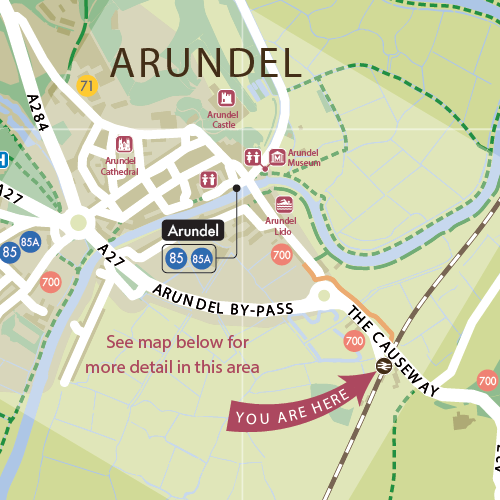
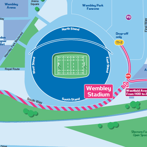
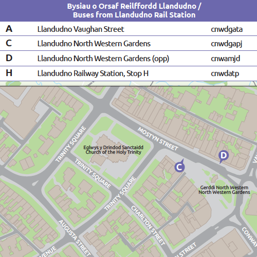
At Pindar Creative, we specialise in designing wayfinding maps that enhance navigation in public spaces. Our custom wayfinding maps are tailored for street signage and strategically placed at key locations such as bus and rail stations, car parks, and major pedestrian junctions in city and town centres.
Our wayfinding maps include:
- Key landmarks and areas – Shopping districts, dining quarters, parks, and cultural sites
- Destinations for residents, visitors, and workers
- Accessible routes – Steps, ramps, and gradient details for inclusive navigation
- 3D building visualisation for enhanced clarity
- Public transport integration – Bus and rail stations, bus stops, cycle parking, and cycle hire locations
All our wayfinding map designs are fully customised to meet your specific needs and can be produced in a variety of styles, including the following:
In addition to map design, we provide full artwork services for wayfinding signage and finger posts, including:
- Destination indexes
- Street and landmark listings
- Directional signage and guidance
- Walking route information
Whether you need a bespoke wayfinding map, an interactive wayfinding solution, or a printed street map, we ensure your signage is clear, visually engaging, and optimised for usability.
view wayfinding case studies
South Downs National Park Authority Rugby World Cup