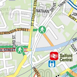
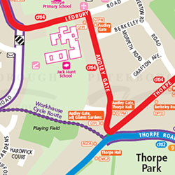
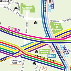
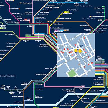
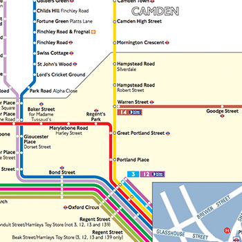
At Pindar Creative, we specialise in creating high-quality, bespoke public transport maps that promote bus, rail, ferry, and tram travel. Our range of custom maps includes:
- County Maps
- Town Maps
- Individual Route Maps
- Fare Zonal Maps
- Bus & Rail Network Maps
- Key Bus & Rail Interchange Maps
- Where to Board Your Bus Maps
- Onward Travel Maps
Each public transport map is meticulously designed to meet your specific requirements and can be created in a variety of styles, including:
Traditional
Frequency
Multi-Colour
Schematic
We use the latest technology, such as Illustrator and GIS, to design detailed and accurate maps. In addition to printed formats, we can integrate your transport maps into visually appealing leaflets and posters.
For a more interactive experience, we also offer online versions of our public transport maps, featuring:
- Fully pan-able mapping
- Multiple scales of mapping
- Full search functionality
- Clickable hotspots with additional information
- links to external websites
Discover our custom public transport mapping services and explore our portfolio for more examples of our work.
view our Public Transport portfolio
Public Transport Maps